Gear notes by category
Shelter
You will probably need a tent for a TCT through-hike. The route passes many guesthouses, as well as unusual accommodation options such as caves and monasteries, but there are multiple long stretches with no accommodation. If you’d prefer not to carry a tent, choose specific sections with guesthouses, or look into the new Armenian National Trail.
Sleeping
Most nights will be mild, but you need a sleeping bag and mat that will be warm enough for a few nights just below freezing. My own choices were excessively warm because I was planning to visit Mount Kazbek in Georgia afterwards. It’s dry enough to use a down sleeping bag (or quilt), if you can afford it and don’t mind the use of animal products.
Phone and accessories
Nowadays, most hikers navigate with a digital map on their phone (options for navigation apps and paper maps are discussed below). The ideal phone is tough and has a long battery life, like my Nokia XR20. However, no mobile phone (cell phone) will survive harsh outdoor conditions without appropriate precautions. I learnt the hard way on a trek around Ecuador, when persistent rain seeped through my jacket and destroyed my phone. Based on experiences like that, I have these recommendations:
Use a screen protector and a protective case. Have a waterproof case that allows you to operate the screen in the rain. Keep a note of how much battery you use per day, and use aeroplane mode to save battery. Carry a battery pack if the distances between resupply towns are long enough. During very cold weather, keep your phone (and your battery pack) close to your body to avoid a flat battery. During very hot weather, some phones may become slow, and sweaty hands might make them difficult to use; have a bandana to wipe the screen.
See my safety advice for notes about phone service on the TCT.
Navigation apps
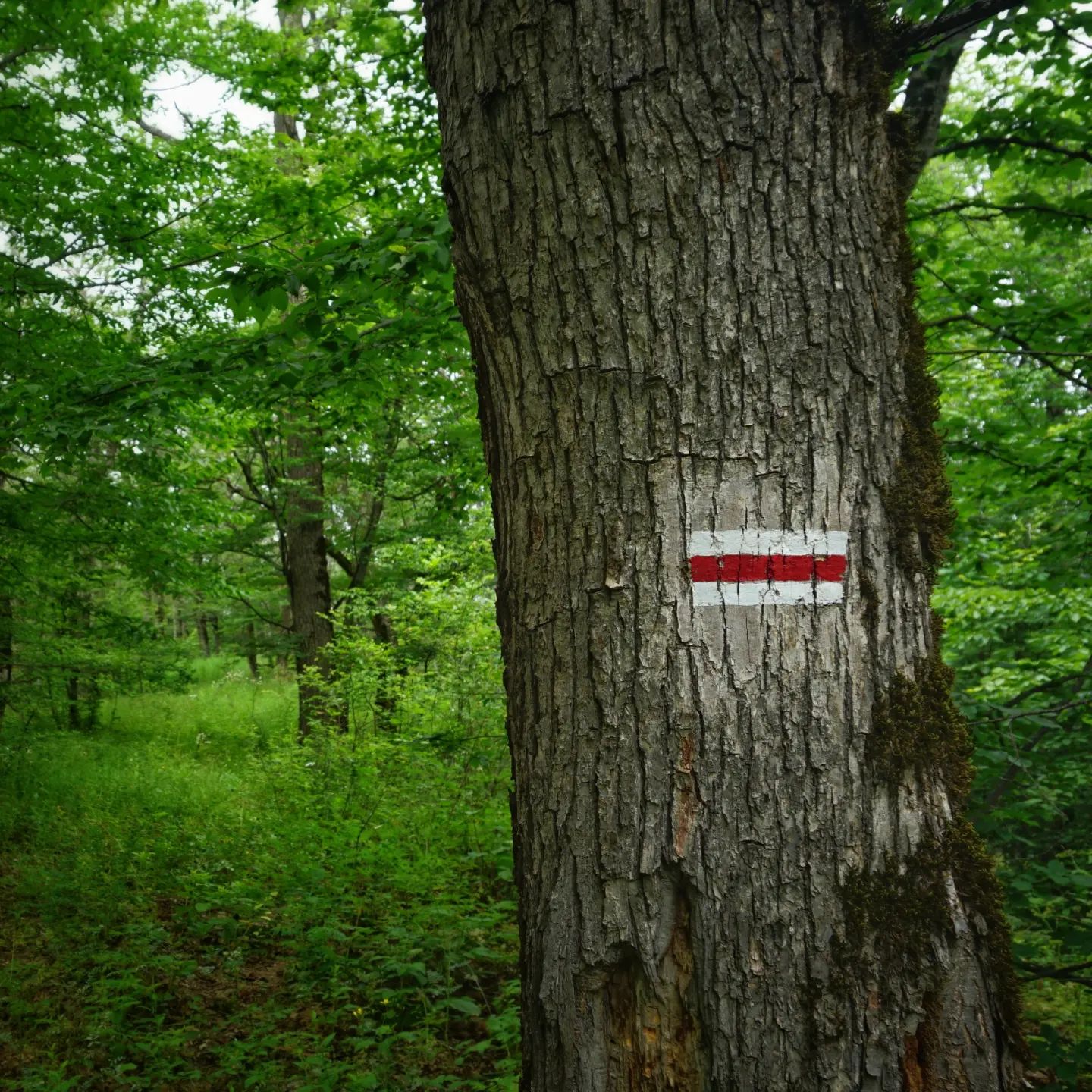 Significant portions of the TCT route have trail blazes like this one, but many sections require the hiker to make navigation decisions
.
An important aspect of the development of the TCT has been detailed digital mapping. There are ongoing efforts to mark and signpost the trail, but through-hikers will have to navigate frequently. If you sign up to hike the route, you will be given access to a CalTopo map with abundant placemarks indicating water, accommodation, and so on. It is very helpful to look at this map on the CalTopo app when in camp and thinking about an upcoming section. The free version of the app is sufficient for this.
However, most people find the CalTopo app is not the best for navigation during the day, except for hiking within the US with a high-end iPhone (in which case it is very good). Presently, the app is slow, at least on medium-budget phones (possibly due to the large size of the TCT map database), and outside the US, the options for offline basemaps are not as good. Most TCT hikers preferred to import the route information into another app for navigation.
It can be hard to choose between these apps, since most of them are based on OpenStreetMap. The most important feature is the ability to download offline maps, because phone signal cannot be guaranteed in remote areas. I also like to have topographic contours, to give a better sense of the landscape. There are two free apps which meet these requirements: mapy.cz and Organic Maps, but I haven’t tried them yet. (Organic Maps is based on maps.me, also known as MapsWithMe. You should not use maps.me, because it is no longer maintained and has severe privacy issues.) Apps whose paid versions meet the requirements are Gaia GPS and OsmAnd, both of which I have used and can recommend. You should practice with an app before setting out on a big trip, and load up route files and waymarks before you go.
If you do want paper maps, Cartisan produces beautiful ones at 1:25,000 scale for Armenia, but currently only for Dilijan National Park, southern Vayots Dzor province, and the area around Tatev. You can also print map sheets from CalTopo if you have a paid membership.
GPS and satellite units
Although TCT hikers will almost certainly carry a phone, some might also choose to bring a GNSS (GPS) unit. These can be used to navigate, albeit with less good screens and interfaces than phones. They are more rugged and the battery lasts longer. Having both devices means you have a backup navigation system.
Some people also carry some sort of satellite device: a rescue beacon, a text messenger, or satellite phone. The latter two options come with costly monthly subscriptions. (Don’t let your subscription expire like Aleksander Doba did when kayaking across the Atlantic.) Satellite devices allow you to communicate with the outside world even when there is no mobile phone service, as long as you have a good view of the sky. At the time of writing, some more expensive mobile phones also have satellite chips (such as the latest iPhones), so they function like rescue beacons. This will probably become more common. Having any satellite-enabled device is a reassuring last resort, especially for solo hikers. Note that Armenia and Georgia don’t have dedicated mountain rescue services, but I was told that eventually somebody will come!
It’s increasingly common to find devices with both GPS and satellite chips. On the TCT, I carried a small GPS and satellite messenger unit, the Garmin InReach Mini II. It allowed me to record my hiking track at a frequency of one sample per second, something which would have drained my phone’s battery. As somebody who works with maps and data, I really wanted to have those GPS recordings to play around with afterwards. I also paid for a monthly subscription, which allowed me to share my location with my family every 15 minutes and set up a live tracker. This was completely excessive.
Camera
I use a mirrorless interchangeable lens camera (ILC), which is a good compromise between size and quality.
Clothing
Typical temperate-weather hiking advice for clothing applies on the TCT. Regulate your temperature with layers. Convertible trousers are good for this, and can help when visiting monasteries, where shorts are considered disrespectful. Choose fabrics that handle water well, such as wool, synthetic, and linen. Use a sunhat and long sleeves for the sun.
The TCT season is quite warm, and I didn’t need a down jacket. However, there were some chilly mornings where I was grateful for a knitted woollen hat with earflaps. There is enough rain to justify bringing rain clothes. You might also want to wear them through scratchy overgrown sections covered in dew, so stick to cheaper waterproof trousers.
Shoes
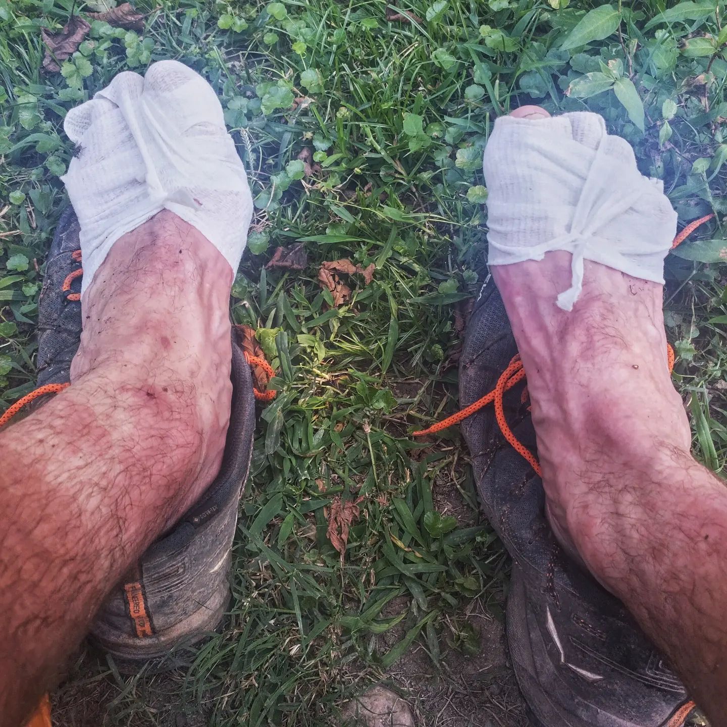 I lost a lot of skin from my feet on the last day of the TCT, because of ill-fitting replacement shoes and sweaty subtropical weather
.
If I were to walk the TCT again, the major thing I would do differently is plan ahead for shoe replacement. Most shoe soles will wear away by the TCT halfway point at around 800 km (500 miles). I went to Tbilisi but only found ill-fitting approach shoes which eventually flayed my feet. Consider leaving a pair with a hostel that you plan to return to. Choosing hiking shoes is personal, but since the TCT is mostly warm and dry, lighter shoes are probably better.
Rucksack
Your rucksack should be big enough to carry the food and water you need for the longest stretches between resupplies. For most people this will be the traverse of the Gegham ridge, covering at least 120 km from Hors to Lchashen. My (41 + 10)-litre pack had ample space, although I was given quite a lot of food along the way.
Water
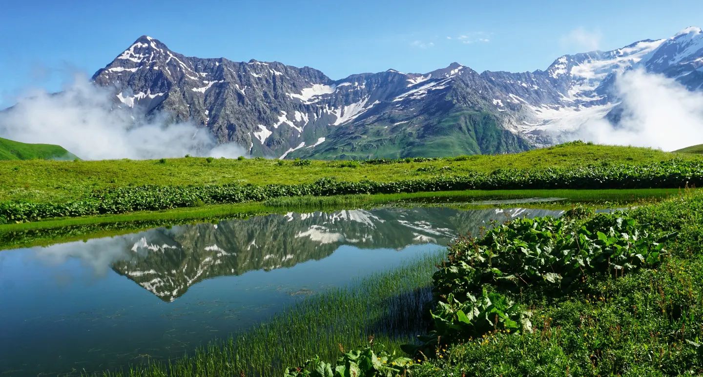 This lake on the Sasvano Ridge was the only water source I didn’t trust during my TCT through-hike
.
The official TCT route map has detailed information about water sources which make it easy to plan ahead. Only a few sections require carrying a lot of water. The biggest water carry is on the Gegham Traverse, between Lchashen and Lake Akna, a distance of around 33 km. The water carry capacity required will depend on your pace and the weather, but I allowed four litres (half a litre per hour). It would have been tougher going southbound, with a backpack full of food and 1,200 m of elevation gain.
Attitudes to water treatment vary. Some people filtered everything. I didn’t carry a filter, and used water purification tablets only once (for a greenish lake along the Zeskho bushwhack which had some tiny creatures swimming in it). A reasonable middle ground would be to drink freely from springs but to filter streams, given the ubiquity of grazing livestock.
Food preparation
The official TCT Armenia guide has all the information you might need about food and fuel. I used a tiny alcohol stove because the fuel (medical alcohol, spirrt) was available almost anywhere.
Insects
Most people encountered some midges or biting flies on the TCT, but not for extended periods. Location and season were not consistent. For me, the only bad insects were around Tobavarchkhili in August. Although I had long sleeves, I wished I had a midge veil. I think insect repellent would be excessive.
Gear repair
I took some kite fabric, a small roll of duct tape, three buttons, Therm-A-Rest repair pads (with glue pads), and two GearAid bag patches. I used tooth floss for stitching.
First aid
I carried hydration sachets, gauze rolls, a sewing needle, safety pins, painkiller (and anti-inflammatory) tablets, a whistle, antiseptic wipes, triple antibiotic ointment, butterfly closures, medical tape, anti-diarrhoeal tablets and anti-histamine tablets.
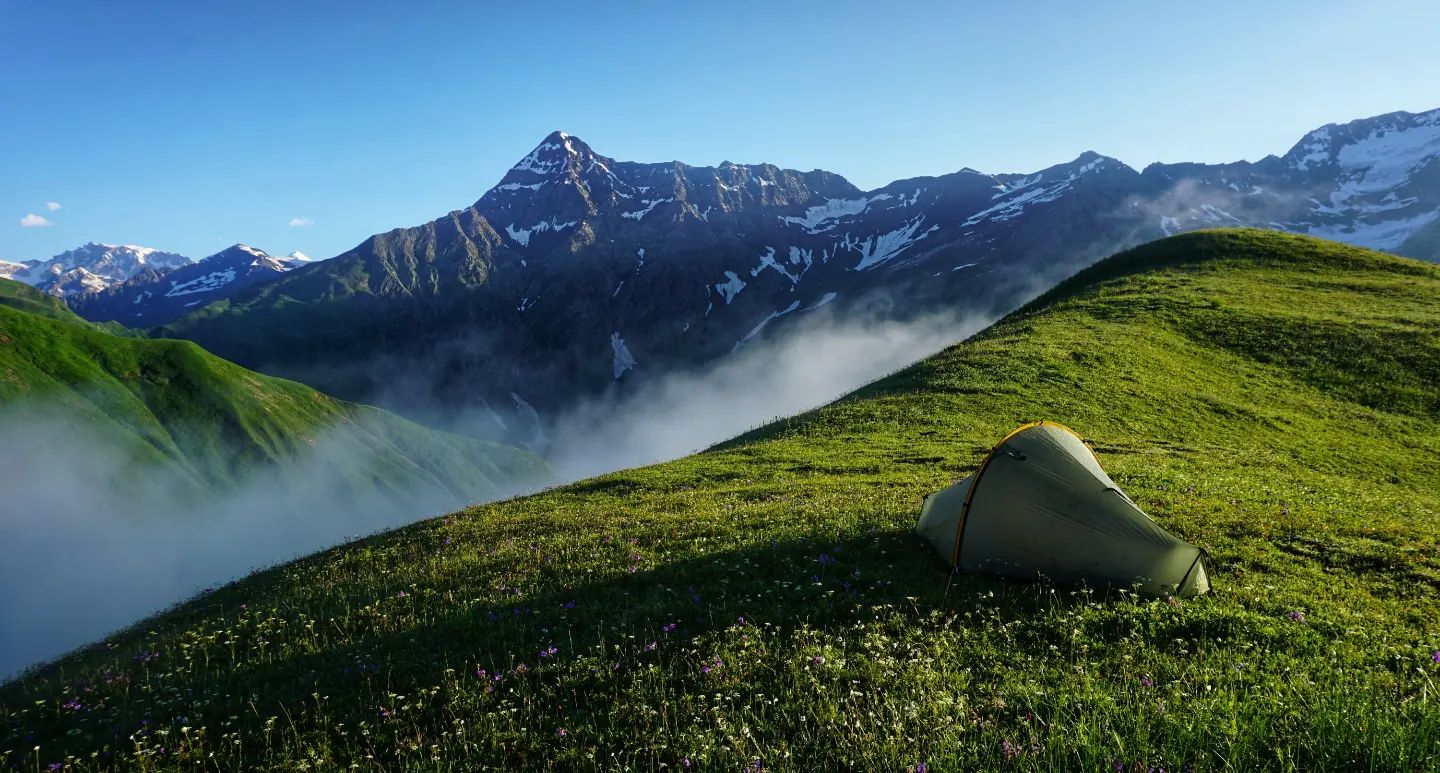 I had good weather for the Greater Caucasus section, which allowed some beautiful, exposed wild-camping locations such as this one during the Zeskho bushwhack
.
Choosing gear is very personal. On the TCT I met a young “fastpacker” with only 3 kg on his back, and an army veteran marching with a dog and a 100-litre backpack. I prefer the light-weight approach, for which I find Cam Honan’s website to be a useful reference. However, until recently I couldn’t afford fancy ultralight gear, and so I know that it’s perfectly possible to enjoy hiking without it! Here I’ll discuss TCT specifics to help you decide. All of the advice here is for the standard hiking season, when the higher passes have little or no snow. Remember that there is an official guide in preparation which is more comprehensive than this one; I’ll add a link when I know more.
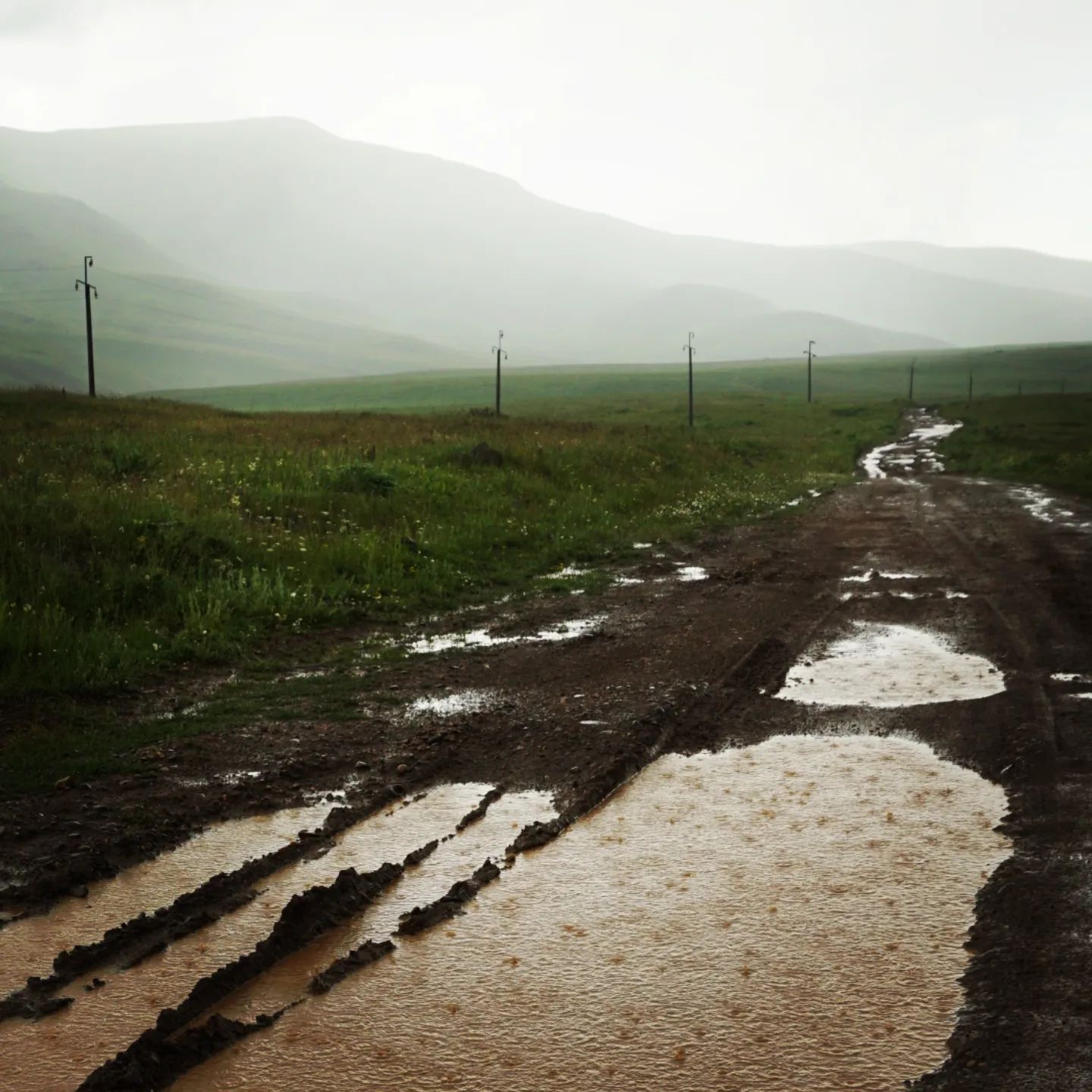 A torrential downpour on the watershed divide between the Vorotan and Arpa Rivers
 Significant portions of the TCT route have trail blazes like this one, but many sections require the hiker to make navigation decisions
 I lost a lot of skin from my feet on the last day of the TCT, because of ill-fitting replacement shoes and sweaty subtropical weather
 This lake on the Sasvano Ridge was the only water source I didn’t trust during my TCT through-hike